Co-written by Amber Siefer and Andrew Emlen.
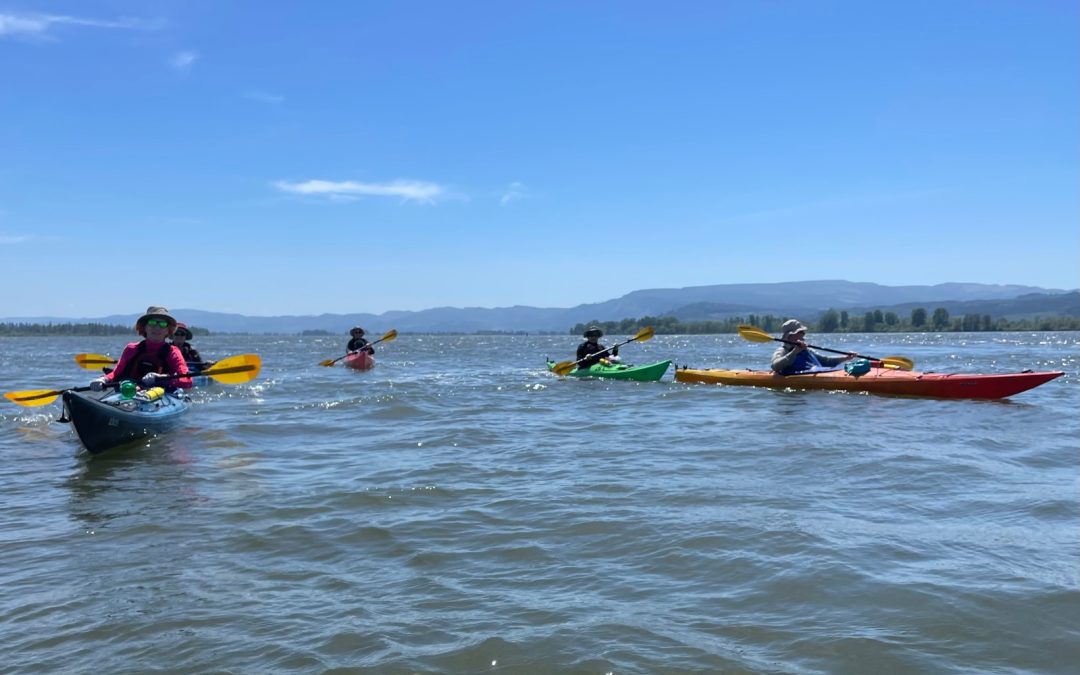
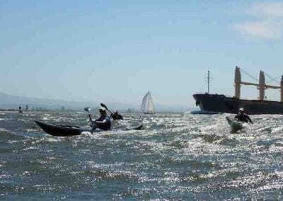
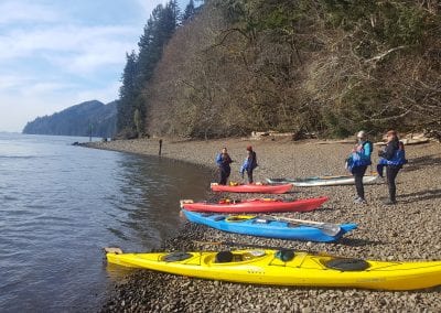
Columbia River Kayaking was founded in 2007 to provide educational tours of the Columbia River estuary where the river, which begins its journey in Canada more than 1,200 miles away, empties into the northern Pacific Ocean. Tours showcase the unique and evolving places on the river known by those who live in and near the town of Skamokawa. CRK guides are professional naturalists, educators and tidal navigation experts who love to share their knowledge of nature and of local history from pre-Columbian times to today.
Where is Skamokawa?
Skamokawa is a remote town and historic stop along Washington State Route 4, a short day trip to or from the Pacific Coast along the striking lower Columbia River. When locals say “ska-MOCK–a-way” that includes the town and three valleys – east, west and middle, that extend into the Willapa Hills. The area is named for the Wahkiakum Chief Skamokawa.
At Skamokawa the Lower Columbia River, which is a natural border between Washington and Oregon, takes its final bend and begins to widen out as it ends its long journey emptying into the Pacific Ocean. The tidal exchange creates a large and dynamic coastal estuary that encompasses a shipping channel and over 40,000 acres of national wildlife refuge lands accessible primarily by water. It’s a unique landscape where both people and wildlife co-exist.
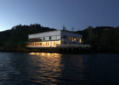
Andrew Emlen first began giving kayak tours of the area in the late 1990’s when he was recruited to lead a new kayaking program established as part of the redevelopment of the Skamokawa Center (now Skamokawa Resort, under new ownership). CRK has been operating out of the historic Viewpoint Landing for more than 10 years.
Why is Skamokawa a Haven for Kayaking?
The river is a corridor of history and commerce spanning thousands of years. In modern times conservation efforts are allowing nature to reclaim large areas that once were inhabited, including about 6,000 acres in the Julia Butler Hansen Refuge for Columbian White-Tailed Deer, and 35,000 acres within the Lewis & Clark National Wildlife Refuge. Most of the refuge areas are only accessible by water, making them an incredible destination spot for kayakers. The area is a success story in-the-making for how to provide for wildlife alongside a community of people who make their living and recreate on the river.
Many who live in Skamokawa are proud to be oddballs and artists who enjoy a quiet and slower pace of life. There are families and individuals who are part of the old logging and farming communities, as well as transplants associated with the back-to-the-land movement of the 70’s, telecommuters, photographers, farmers, painters and writers. There are a disproportionate number of musicians, including Andrew and CRK Co-Owner, Kyleen Austin, CRK Guide Wren Hendriks, and Erik Friend who together form the band Skamokawa Swamp Opera.
The community looked very different not long ago when there were as many as 57 canneries operating in the early 1900’s, with rowboats and steamboats being primary forms of transportation at that time. After the highway was completed in 1939, some river towns not connected to a road were abandoned after the steamboats were put out of business. The local expert and authority on this subject is award winning author, historian and gillnetter Irene Martin. Both Irene and Andrew give evening talks as part of CRK’s multi-day programs. Several of CRK’s day tours take kayakers past the vestiges of the abandoned cannery towns of Brookfield, Bayview, Rockland and Glenella.
The Friends of Skamokawa/River Life Interpretive Center often host local art shows and other events to check out when visiting the area.
What are some special places on the river?
CRK tours are typically within the area between County Line Park and Astoria, which gives access to both wildlife refuges, homes and farms, and IBA (important bird area) of Grays Bay where you can see thousands of wintering waterfowl depending on the time of year. Some other notable spots include:
- Hundred foot cliffs with unique wildflowers such as the Columbia Gorge Daisy (Erigeron oreganus, which grows only behind waterfalls on the Columbia River)
- Lewis & Clark Refuge tidal marsh islands that create a water maze from one island to the next
- Ancient Sitka Spruce trees that survived the subduction zone earthquake of 1700, when all the land dropped three feet
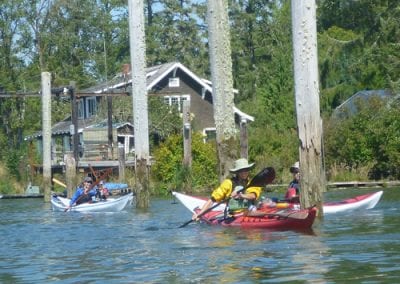
- Old homesteads and farms facing the sloughs, and abandoned cannery towns being overtaken by forest
How can I learn more about the history and culture of the area?
Take a guided trip with CRK! It’s a safe and convenient option that provides an immersive experience and personal connection to this special place.
There are also a number of great books one can read:
- Beach of Heaven: A History of Wahkiakum County by Irene Martin
- Naked Against the Rain: The People of the Lower Columbia 1770-1830 by Rick Rubin
- Northwest Passage: the Great Columbia River by William Dietrich
- Plants of the Pacific Northwest Coast: Washington, Oregon, British Columbia and Alaska
- River of the West: Stories from the Columbia by Robert Clark
- Seeking Western Waters: The Lewis & Clark Trail for the Rockies to the Pacific by Emory and Ruth Strong
- Sky Time in Gray’s River: Living for Keeps in a Forgotten Place by Robert Michael Pyle
- Undaunted Courage: Meriwether Lewis, Thomas Jefferson and the Opening of the American West by Stephen E. Ambrose
- Way to the Western Sea: Lewis & Clark Across the Continent by David Lavender
